

Understanding Your Route Requirements
Before diving into any mapping software, take time to define what you want from your ride. Distance and elevation gain are obvious considerations, but think beyond the numbers. Are you seeking challenging climbs, scenic vistas, or perhaps quiet country lanes away from traffic? Your route goals will determine every subsequent planning decision.

Consider your current fitness level honestly. A route that looks manageable on paper can become grueling when you encounter headwinds, unexpected weather, or simply an off day. Build in buffer time and shorter alternatives, especially when exploring new territories.
The time of year affects route planning significantly. Summer routes that feel perfect might become impassable in winter due to snow, ice, or seasonal road closures. Research seasonal conditions and have alternatives ready for different weather scenarios.
Digital Route Planning Tools
GPS navigation has transformed cycling route planning, offering precision that was impossible with paper maps alone. Popular platforms like Strava, Komoot, and RideWithGPS provide detailed elevation profiles, surface type information, and user-generated route reviews.
Start by exploring heat maps that show where other cyclists commonly ride. These popular segments often indicate well-maintained roads with reasonable traffic levels. However, don’t follow the crowd blindly – sometimes the best routes are the ones less traveled.

Pay attention to elevation profiles when reviewing potential routes. A gradual 1000-foot climb over ten miles feels very different from the same elevation gain compressed into two miles. Understanding these nuances helps you pace yourself and plan rest stops effectively.
Choosing the Right Platform
Different platforms excel in different areas. Strava offers excellent community features and segment tracking, while Komoot provides superior offline capabilities and surface analysis. RideWithGPS delivers professional-level route planning tools with detailed cue sheets and navigation options.
Test multiple platforms to find the one that matches your planning style and device preferences. Many cyclists use different tools for different purposes – one for social features, another for detailed route creation, and a third for navigation during rides.
Traditional Navigation Skills
Despite our reliance on digital devices, traditional map reading remains crucial for any serious cyclist. Batteries die, GPS signals fail, and technology breaks down exactly when you need it most. Learning to read topographic maps and understand basic navigation principles provides essential backup capabilities.
Study your route on a physical map before departing. Note major landmarks, road numbers, and alternative routes in case of detours. This mental mapping proves invaluable when GPS systems guide you incorrectly or take you on routes unsuitable for cycling.
Compass navigation might seem outdated, but understanding basic orienteering helps when electronic devices fail. Knowing how to use sun position and terrain features for navigation can get you home safely when everything else goes wrong.
Emergency Planning and Backup Routes
Every route plan should include contingency options for various scenarios. Mechanical failures, weather changes, or simple exhaustion can force route modifications. Identify bail-out points where you can cut your route short or find alternative transportation.
Research bike shops, public transportation options, and safe stopping points along your route. Having contact information for bike shops and taxi services can save the day when problems arise far from home.
Weather contingency planning goes beyond checking the forecast. Understand how different weather conditions affect your specific route. Some roads become dangerous in rain, while others might be impassable in strong winds.
Creating Multiple Route Versions
Create multiple route versions with different distance and difficulty options. Having 50-mile, 75-mile, and 100-mile versions of the same basic route gives you flexibility based on how you feel on ride day.
Plan escape routes at regular intervals throughout longer rides. These shorter alternatives should lead to safe transportation options or familiar roads that can get you home quickly if needed.
Navigation Technology Best Practices
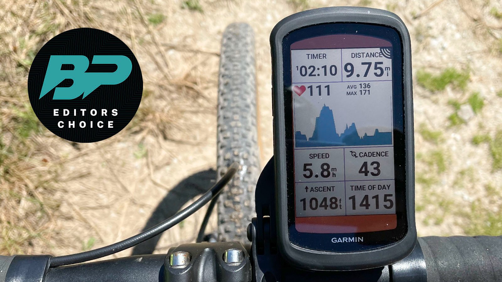
Modern bike computers and smartphone apps offer incredible functionality, but they require proper setup and understanding. Spend time learning your chosen navigation system thoroughly before heading out on important rides.
Always carry backup power sources for electronic devices. Portable battery packs designed for cycling can keep your GPS running for extended periods. Some cyclists carry multiple devices for redundancy.
Download offline maps when possible. Cell service can be spotty in rural areas where many of the best cycling routes exist. Having offline capability ensures navigation continues even without data connectivity.
Route Safety Considerations
Safety should influence every aspect of route planning. Research traffic patterns on roads you plan to use, and avoid high-traffic areas during peak times when possible. Early morning departures often provide the best traffic conditions.

Inform someone about your planned route and expected return time. Share your GPS track with family or friends, and establish check-in protocols for longer rides. This communication becomes critical if something goes wrong.
Consider visibility and lighting requirements when planning departure and arrival times. Starting before dawn or finishing after sunset requires proper lighting and reflective gear. Plan your timing to maximize daylight hours, especially in unfamiliar areas.
Planning your cycling routes properly transforms cycling from a potentially stressful navigation exercise into an enjoyable exploration adventure. The time invested in thorough planning pays dividends in confidence, safety, and overall ride enjoyment. Start with shorter, familiar routes to develop your planning skills, then gradually expand to more ambitious adventures as your experience grows.